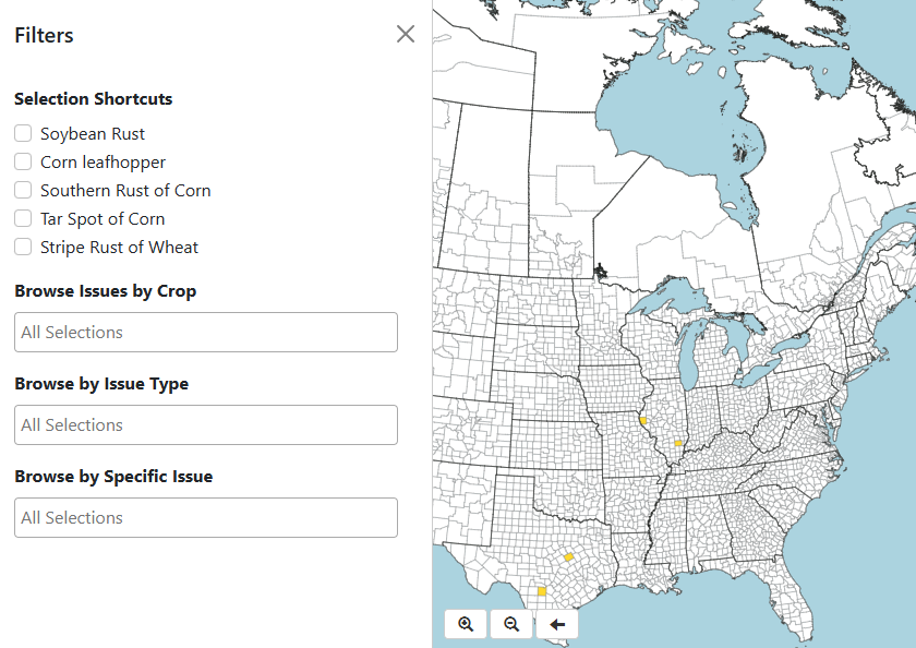
Crop Lookout
Latest Bulletins
Tar Spot Leads a Diverse Weekend of Disease Sightings
July 20, 2026
Tar Spot Leads a Diverse Week of Crop Lookout Reports
Crop Lookout received reports of six different crop diseases and pests across six states this week. Tar spot of corn accounted for more than half of all submissions, with new reports from Indiana, Michigan, and Virginia. Three of those reports originated from Saginaw County, Michigan, over a four-day period, reflecting continued observations of tar spot in the area.
Additional reports included southern corn rust in Missouri, red crown rot of soybean in Missouri, Curvularia leaf spot in Iowa, and a corn leafhopper sighting in Kansas.
Tar Spot and Red Crown Rot Highlight This Week's Crop Lookout Reports
July 16, 2026
Crop Lookout received reports of tar spot of corn and red crown rot of soybean this week.
Multiple Foliar Corn Diseases Reported Across Iowa
July 10, 2026
Crop Lookout received reports of three foliar corn diseases across Iowa this week, including bacterial leaf streak, northern corn leaf blight, and gray leaf spot.
Sponsors